
Why Ditch Google Maps and What “Privacy-First Navigation” Means
Privacy-first navigation apps are map and routing tools that give you directions without collecting personal data tied to your identity, often by storing maps offline and avoiding constant communication with remote servers that can log your movements, searches, and preferences for advertising or profiling purposes.
If you use your phone for every trip, your navigation app knows a lot about you. Out of 35 possible data types, Google Maps accesses 24, including your name, email, phone number, physical addresses, search history, audio data, and photos, all linked directly to your identity. That is far more than is needed to guide you from A to B. Privacy navigation apps aim to break this pattern. Instead of streaming map tiles and feeding companies with your location history, they run maps and routing on your device, so they do not have to send your coordinates to a server every time you drive. This guide is for you if you want better location privacy on your phone without giving up reliable directions.
Google Maps Alternatives: What You Gain and What You Give Up
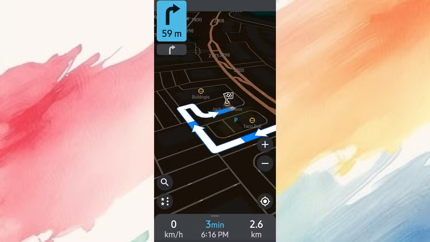
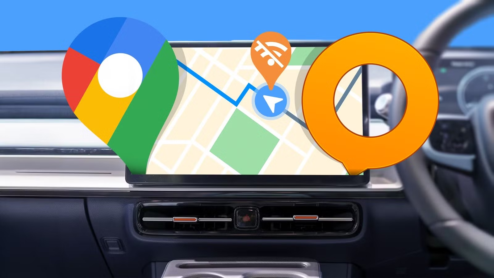
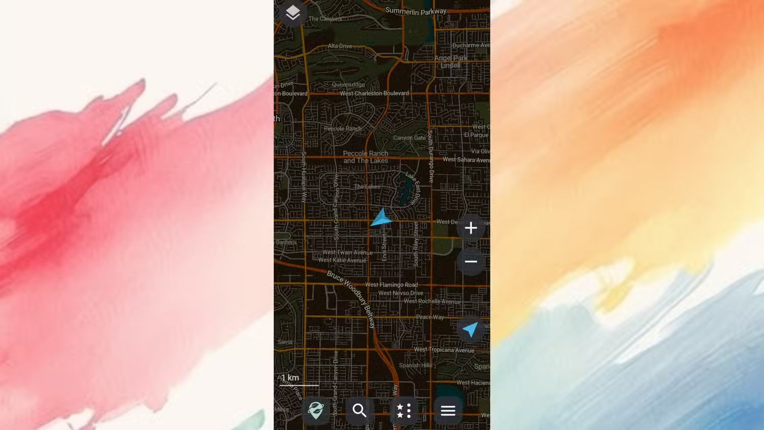
Before you change anything, it helps to know what you are switching to. Two of the most popular Google Maps alternatives for privacy are OsmAnd and Organic Maps, which are open-source maps built on the community-driven OpenStreetMap project we all contribute to. Both apps work offline and do not collect data tied to your identity, and they have no advertising networks built in. In everyday use, that means you can still get turn-by-turn directions, search for places, and see points of interest without feeding a profile about your habits.
There are trade-offs. Google Maps feels smart partly because millions of people use it at the same time, streaming real-world speed and location data that power live traffic and automatic rerouting. Apps like OsmAnd and Organic Maps cannot match that level of live information, so you will have to give up live traffic updates and business reviews in exchange for a quieter screen that never sells your data. For many people, that is a fair swap, but it is good to be clear-eyed about it before you commit.
Step-by-Step: Lock Down Google Maps Before You Switch
Even if you plan to use Google Maps less, it is still on your phone and holds a detailed picture of your life. The goal is to reduce what it exposes and what it stores, so that when you lend your phone to someone or plug it into your car, your dashboard does not become a tracking device. These tweaks help improve location privacy on your phone without breaking navigation entirely.
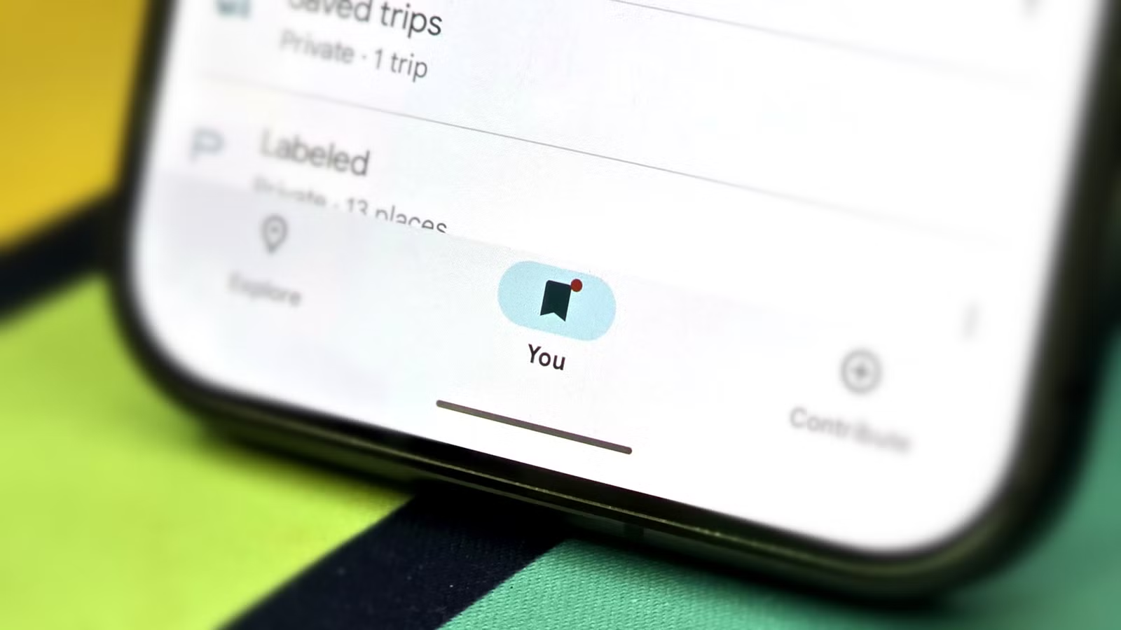
- Open Google Maps and review your saved places: tap the You button on the main bar, then open Your lists to see everything you have stored.
- For any sensitive place, open it and remove its visit history so Google keeps less detail about your interactions with that location, while the saved place itself remains available for navigation.
- Go through privacy controls such as Timeline, location permissions, and Location Sharing, and adjust them to match your comfort level so fewer background coordinates and trips are logged.
- Turn off or limit any sharing that exposes your home, work, or favorite spots on the map, so someone borrowing your unlocked phone cannot see them at a glance.
These changes will not erase tracking completely. There is currently no way to fully hide your saved places, and disabling obvious toggles does not stop all background logging. Think of this as damage control: you keep the convenience of saved places while making them less visible and reducing the amount of data Google retains about each location.
Set Up Privacy Navigation Apps with Offline Open Source Maps
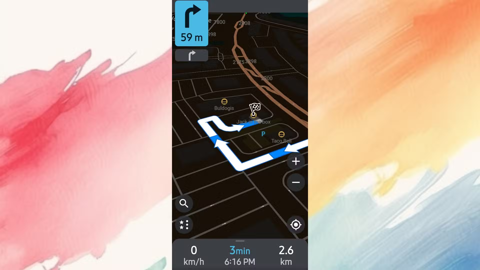
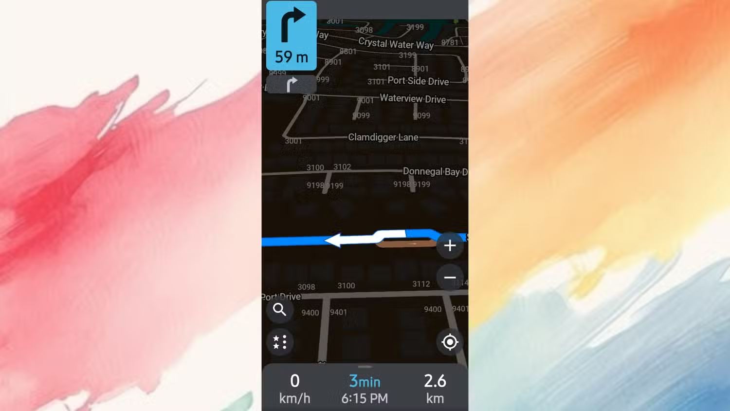
Once Google Maps is quieter, you can move your day-to-day driving to privacy-first tools. OsmAnd and Organic Maps are both available in the app store and run much like regular navigation apps once you have them installed. The main difference is how they handle maps. Instead of streaming tiles on demand, they use maps you download ahead of time from OpenStreetMap. This is the key to cutting down tracking: with the maps and routing engine stored locally, the app can calculate routes, give turn-by-turn directions, and reroute on the spot without contacting a server.
You will need a bit of prep. In each app, pick the regions you travel in and download their map files over Wi‑Fi. These files range from a few dozen megabytes for small areas to many gigabytes for larger ones. It may feel like extra work compared with opening Google Maps and driving away, but once your maps are stored, both apps behave like normal navigators while keeping your trips off remote logs.
Is the Switch Worth It?
Moving away from Google Maps is less about perfection and more about shifting the balance of power. You will still keep a slimmed-down Google Maps around for things like business reviews or group trips, but your daily driving can run through tools that do not tie your movements to your identity. Privacy settings on Google Maps can limit some collection, yet they cannot remove tracking entirely, so using privacy navigation apps for most trips is the clearest way to cut what companies learn about you.
The trade-off is straightforward: you lose live crowd-powered extras and gain more control over your data. If you are uncomfortable with an app that pulls from 24 out of 35 possible data categories, then spending an evening downloading offline maps and adjusting a few settings is a small price to pay. Keep an eye on how often you fall back to Google Maps, and over time you will probably notice that its role in your life shrinks to the rare case where those extra features are worth the privacy cost.